
Trail circuit 47 red - Pointe des Follys
Sport, Pedestrian sports, Trail route
in Abondance
15.3
km
-
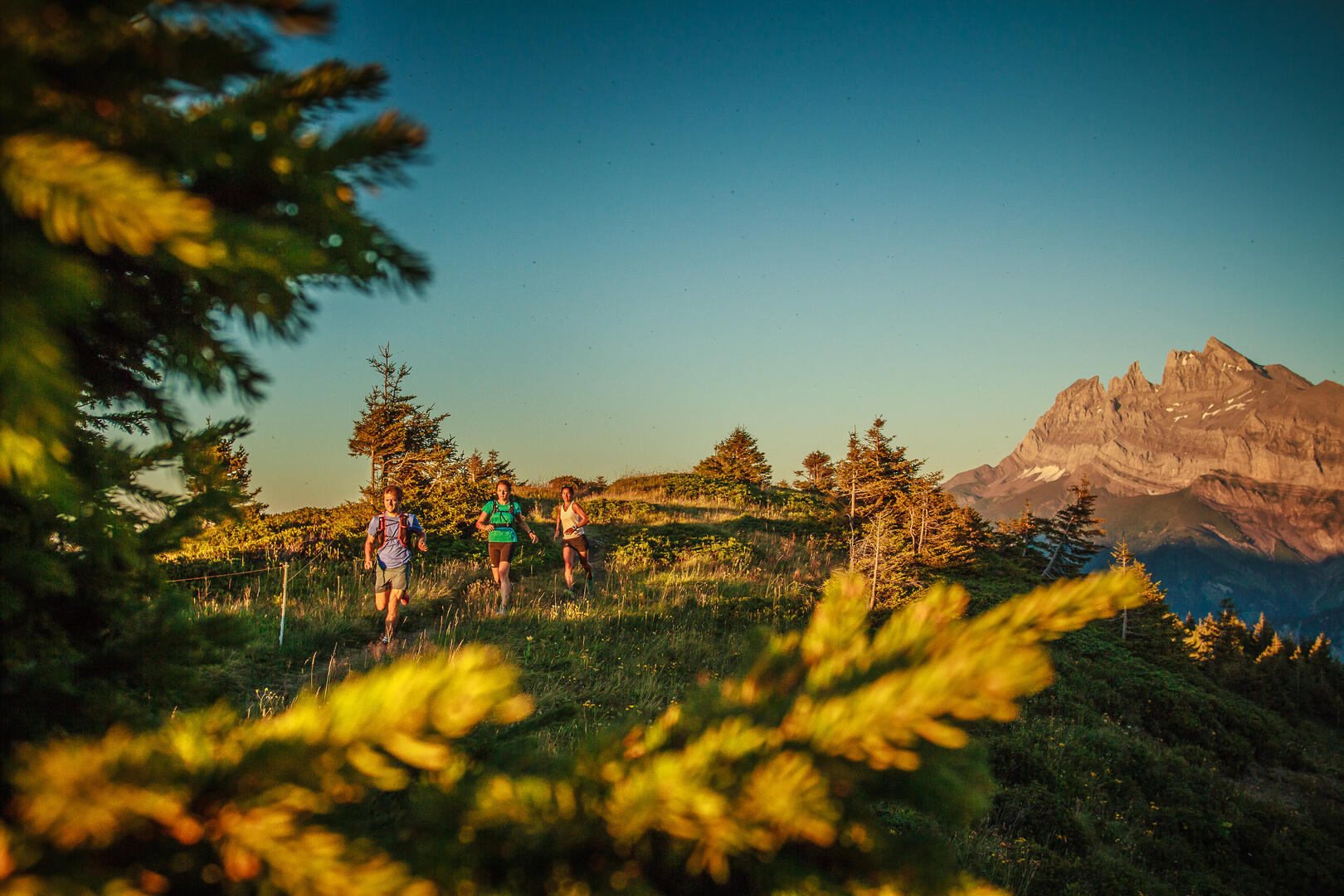
Discover the Pointe des Follys, a well-known peak for trail runners in the Abondance valley!
-
This route offers magnificent views over the entire Abondance Valley, the Dents du Midi and Lake Geneva. A rather difficult trail for experienced runners, it takes you through forests and meadows, past traditional farms and mountain chalets, starting from the center of the village of Abondance.
Marking details : Square shaped panel "Trail Running Portes du Soleil" accompanied by the circuit number.
- Departure
- Abondance
-
-
Difference in height
- 834 m
-
-
-
Plain text period
- From 01/06 to 31/10.
-
-
-
Environment
-
-
-
Spoken languages
-
-
-
-
-
Documentation
-
- Trail circuit 47 red - Pointe des Follys_Abondance
- Trail circuit 47 red - Pointe des Follys_Abondance
-
- 834 meters of difference in height
-
- Maximum altitude : 1659 m
- Minimum altitude : 929 m
- Total positive elevation : 834 m
- Total negative elevation : -834 m
- Max positive elevation : 247 m
- Min positive elevation : -274 m
Services
-
-
Services
-


